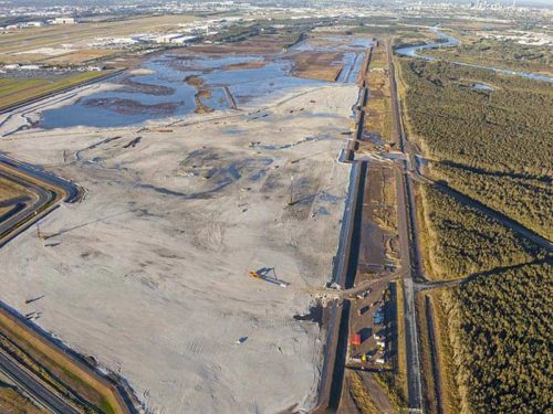
The Central Queensland easement was created as part of an infrastructure corridor to deliver future services to the region and enhance the efficiency of future land resumptions.
The project required the use of Global Positioning Systems (GPS) to establish horizontal control over the length of the project before accurately reinstating property boundaries to determine the position of the corridors alignment. Project management played a significant part in the timely completion of the project to ensure the appropriate legislative requirements were adhered to. Upon completion of the project, zero requisitions were issued by the Department of Natural Resources – a testament to the level of professionalism and knowledge of the DTS project team.
Project
Details
LOCATION
Stanwell to Gladstone
CLIENT
Department of Infrastructure & Planning
LOCAL AUTHORITY
Central Queensland Regional Council
SCOPE
Stanwell to Gladstone Infrastructure Easements
Cadastral Surveying and Survey Plan preparation